INTRO
Transit planners often lack platforms for meaningfully engaging stakeholders and the public around transit projects. The complexities of transit networks have traditionally made it difficult to move beyond public hearings with pre-generated, static maps and abstract claims about "travel time savings" of different scenarios.
What if there were interactive platforms to help planners and the public better understand the spatial impacts of transit? We are exploring ways to maximize the positive impacts of emerging urban accessibility standards and practices by building them into innovative tools to transform stakeholder engagement for transit projects.
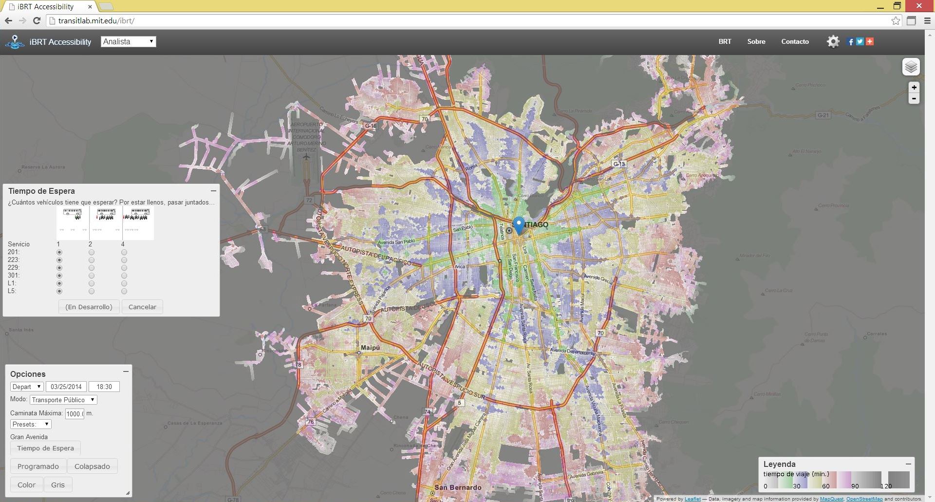
CoAXs 0.1
A basic proof-of-concept process built around open-source interactive mapping tools and data (see Open Trip Planner Analyst) was tested for BRT corridor planning with stakeholder groups in Boston and Santiago de Chile. More info.
CoAXs 1.0
With support from the Barr Foundation, a series of public workshops was conducted at the Roxbury Innovation Center in Fall, 2015.
CoAXs 2.0
The next phase of this project is being supported by TransitCenter. New versions of CoAXs were tested in partnership with LivableStreets Alliance in Fall, 2016. We look forward to extending these versions with additional partners in 2017.
DEMO
(Client application for Open Trip Planner/Transport Analyst; Still a work in progress)
Try the Boston demowith support from: